Client: Department of Irrigation
Funding Agency: World Bank
Period: April 2012 to June 2014
Consulting Association: GEOCE Consultants (P) Ltd, PRECAR JV
Approx. Value of Services: Total NRs 9.8 million, GEOCE’s part-NRs 6.1 million.
Professional Staff Input: National (18) person months
Salient Details
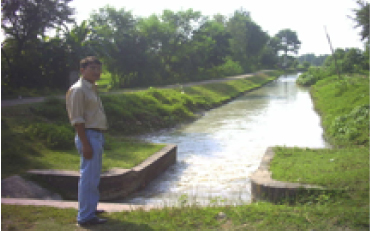
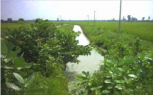
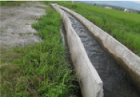
Review and evaluation of the Social and Environmental Management Plan (SEMP) prepared for the rehabilitation of 111 no farmers managed irrigation systems (surface and ground water schemes) of Irrigation Water Resources Management Project (IWRMP) in three regions (Western, Mid-western and Far Western) and Kankai Irrigation Project (KIP) for management transfer.
The main objective of the study was
- Verify compliance with social and environmental requirements process and procedures as defined in ISEA/SEMF Project Administration Document and other project documents
- Verification of the community participation in the preparation of SEMP
- Collection of post construction social and environmental data of the project area
- Assessment of environmental and social impacts which occurred due to project implementation
- Evaluate the variation and the effectiveness of the mitigation measures
- Suggest corrective measures
The scope of services included:
- End-term evaluation of the implementation of ISEA/SEMF, and SEMPs of111 sub projects and KIP
- Review and assessment of the project documents, check inclusion of social and environmental mitigations required by ISEA/SEMF and SEMP in the subproject documents and costs, collection of field data , and collection of WUAs, beneficiary farmers and stakeholder’s views, coordination of this study with the line agencies, identification of remedial issues with corrective measures and preparation of socio-environmental audit report.
- Study of physical project structure, WUA and beneficiary farmer’s community along with command area.
- Field visit, sampling, questionnaire administration, interview and Group discussion with WUAs, beneficiary farmers’ community and related agencies
- Assessment of various social issues such as loss of private land and immovable assets requiring involuntary acquisition for widening canal, head regulator and other structures either because of land acquisition or land donation; loss of community resources and structures; loss of source of income and livelihood; health (including HIV/AIDS) and safety aspects of the labor and local people; water rights – equity issue; lack or inadequate consultation and participation; disparity in accessing project benefits; wage parity; issues related to gender and vulnerable sections of farming community; conflicts, disputes and grievance redress mechanism.
- Assessment of environmental issues such as erosion and slope stability, spoil bank management, unsustainable withdrawal of water from the source (surface/ground water), excessive and unplanned quarrying of construction material, impediment of movement of wild life, people and livestock, aggradation/ degradation of river bed, change in river morphology/ outflanking, sediment intrusion, water logging and drainage hazards, disposal of construction spoils, impacts on forest including loss of timber, vegetation and deforestation, or degradation of forest, impacts on wildlife and aquatic life including degradation or fragmentation of habitat and / or Loss of wildlife due to project activities/poaching/illegal fishing by labor, pollution and nuisance due to disposal of wastes from labor camp or workers’ sanitation, increased use of chemical pesticides and fertilizer, impacts on other natural resources (e.g. drinking water source etc).

